Geospatial
Glossary page
Geospatial analysis involves applying statistical and mathematical methods to data that have a geographic or spatial reference. The data can be located using precise GPS coordinates, or may have an implicit, indirect, or approximate spatial reference.
https://www.bitkom.org/sites/default/files/file/import/140228-Big-Data-Technologien-Wissen-fuer-Entscheider.pdf
Latest webinars


Latest articles
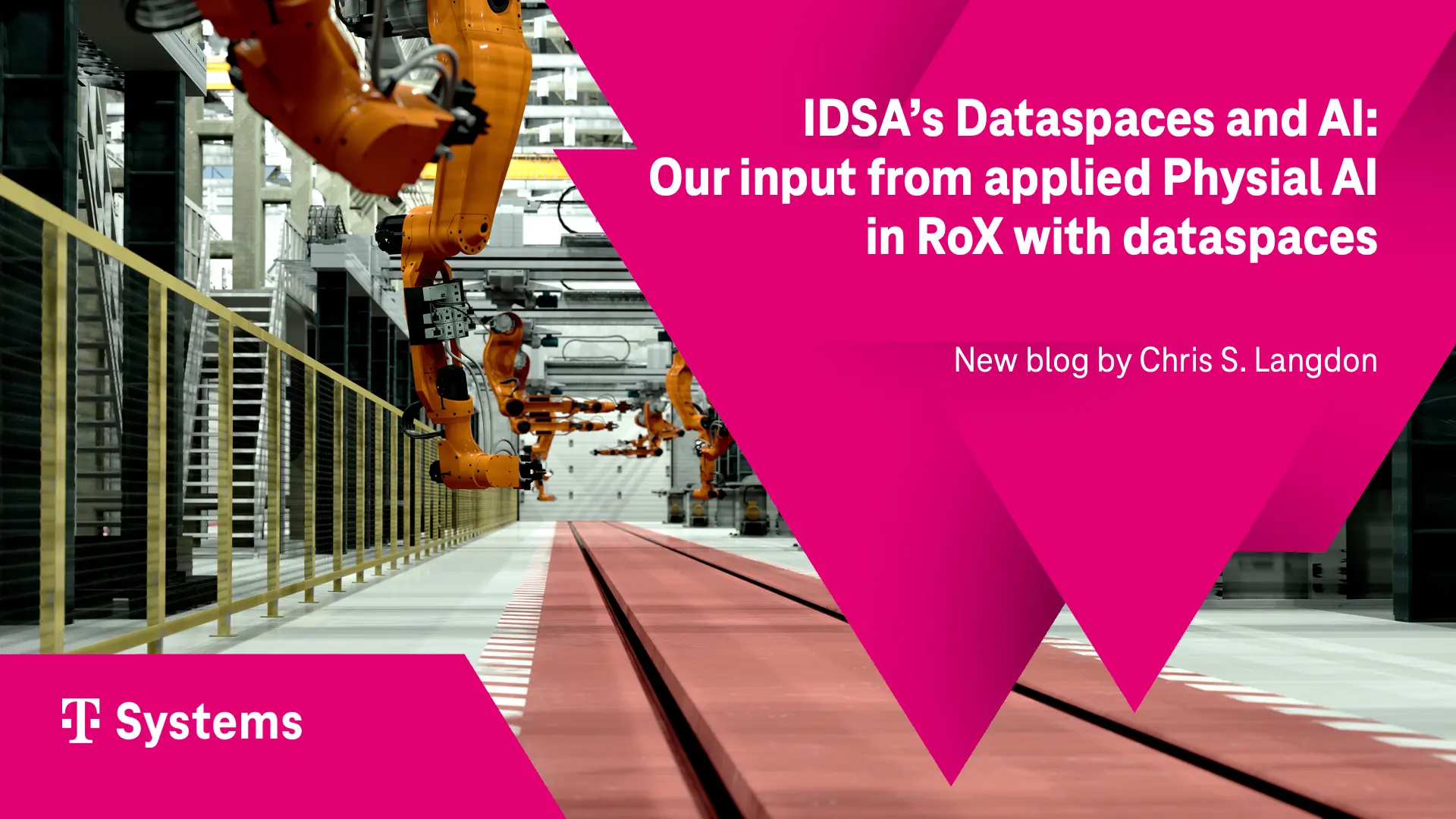
IDSA’s Dataspaces and AI: Our input from applied Physial AI in RoX with dataspaces
The IDSA position paper "Data Spaces and AI" argues that the coordination problems facing agentic AI — identity, trust, access control, governance and provenance across organizational boundaries — are the same ones dataspaces already solve for cross-company data sharing. Rather than reinventing them for autonomous agents, the peer-to-peer logic behind standards like ISO/IEC 20151 can transfer directly to agent-to-agent interaction. T-Systems contributes a concrete proof point: RoX, a German consortium where competing robotics players and institutes such as DFKI and DLR share a sovereign data foundation for AI-based robotics. Built on Tractus-X and aligned with IDSA and Gaia-X, it already powers live robotic cells and is now extending that governed data supply to an agentic layer — showing in practice what the paper argues in principle.
Read more

Chris S. Langdon
Jul 21, 2026

First Korea–Europe peer-to-peer dataspace transaction: L&F and EU Tier 1
In November 2025, the first peer-to-peer dataspace transaction between Korea and Europe was completed, with L&F (Korea) sharing product carbon footprint data with the automotive division of a major European Tier 1. Orchestrated by Prof. Chaisung Lim of Konkuk University and enabled by T-Systems' Dataspace-as-a-Service, the exchange ran on the Eclipse Tractus-X stack with the IDSA protocol and Gaia-X trust framework — the same standards underpinning Catena-X. The transaction proves that sovereign, governed data sharing can now travel across regions and regulatory environments without centralising data or surrendering control. Beyond secure, trusted file transfer, it points to a strategic foundation for AI-ready data and new value-creation scenarios, including controlled collaboration across ecosystems and even between competitors.
Read more
Chris S. Langdon
Jun 29, 2026

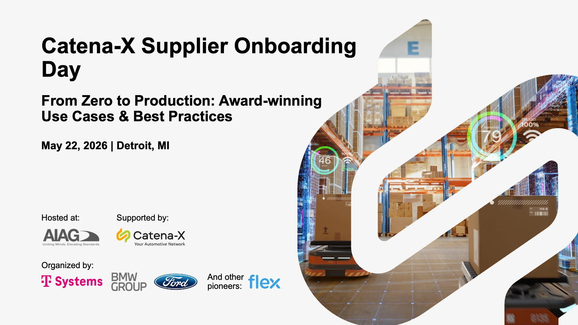
AIAG-Catena-X-SOD-Detroit 2026: AIAG conference & Supplier onboarding day
This article highlights the transition of Catena-X (CX) in North America from pilot initiatives to large-scale adoption within the automotive industry. It positions CX as a decentralized data ecosystem—an “Internet for data”—that addresses critical challenges such as quality management, sustainability compliance, and battery passport reporting. Drawing on insights from the AIAG Catena-X Conference and Supplier Onboarding Day in Detroit, the article emphasizes that digital transformation and AI initiatives are fundamentally data challenges, often hindered by fragmentation across organizations and supply chains. Catena-X provides a practical, business-oriented approach by combining trusted data-sharing infrastructure, ready-to-deploy use cases, and a scalable onboarding model for suppliers. The experiences shared by industry leaders demonstrate how CX accelerates time-to-value, enabling companies to transform fragmented data into interoperable, trusted data flows that underpin generative AI, digital twins, and future digital business models.
Read more
Chris S. Langdon
Jun 01, 2026